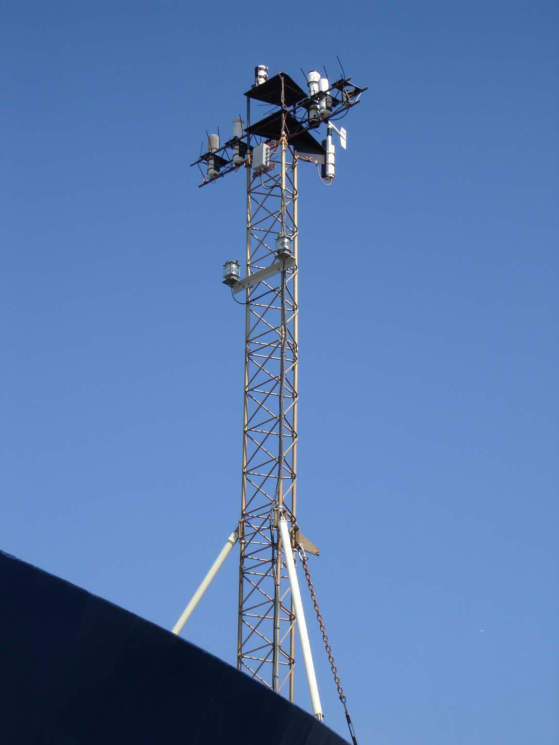
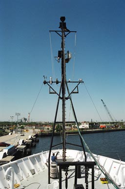
A Shipboard Automated Meteorological and Oceanographic System (SAMOS) is typically some form of a computerized data logging system that continuously records navigational (ship's position, course, speed, and heading), meteorological (winds, air temperature, pressure, moisture, rainfall, and radiation), and near-surface oceanographic (sea temperature and salinity) parameters while the vessel is at sea.
Measurements are recorded at high-temporal sampling rates (typically 1 minute or less). The high sampling rate allows more accurate estimates of the turbulent air-sea fluxes to be determined (Smith et al. 2018) and makes SAMOS data (Smith et al. 2018) ideal for validating flux fields from numerical weather prediction models (Smith et al. 2001, Renfrew et al. 2002). In addition, observations have proven to be an ideal source of validation data for new satellite systems (Bourassa et al. 1997, 2003). The fact that R/Vs tend to operate in areas remote from normal shipping lanes increases the value of these data for validation studies.
|
|
Credit: WHOI |
Credit: Rik Wanninkhof/AOML |
- Bourassa, M. A., D. M. Legler, J. J. O'Brien, and S. R. Smith, 2003: SeaWinds validation with research vessels. J. Geophys. Res., 108, DOI 10.1029/2001JC001081.
- Bourassa, M. A., M. H. Freilich, D. M. Legler, W. T. Liu, and J. J. O'Brien, 1997: Wind observations from new satellite and research vessels agree, EOS, 78, 51, 597-602.
- Renfrew, I. A., G. W. K. Moore, P. S. Guest, and K. Bumke, 2002: A comparison of surface layer and surface turbulent-flux observations over the Labrador Sea with ECMWF analyses and NCEP reanalyses. J. Phys. Oceanogr., 32, 383-400.
- Smith, S. R., D. M. Legler, and K. V. Verzone, 2001: Quantifying uncertainties in NCEP reanalyses using high quality research vessel observations. J. Climate, 14, 4062-4072.
- Smith, S. R., K. Briggs, M. A. Bourassa, J. Elya, and C. R. Paver, 2018: Shipboard automated meteorological and oceanographic system data archive:2005-2017. Geosci Data J., 6:354. https://doi.org/10.1002/gdj3.59